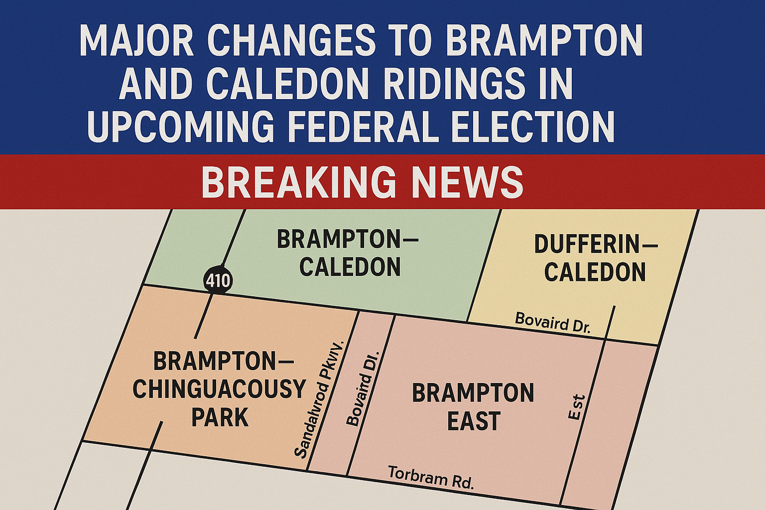
Voters in Brampton and Caledon will experience significant changes to their electoral ridings in the upcoming federal election on April 28, 2025. These adjustments come as a result of a redrawing of electoral boundaries, which have not only altered existing ridings but also created two new ones.
Changes to Brampton Ridings
For the past three federal elections—2015, 2019, and 2021—Brampton was divided into five separate ridings within the city: Brampton East, Brampton West, Brampton North, Brampton South, and Brampton Centre. However, following a boundary redrawing in 2022, these ridings have been reshaped, with significant impact on both Brampton and Caledon.
One of the most notable changes is that Brampton North has now expanded into Caledon, creating a new combined riding called Brampton North—Caledon. This adjustment means that Caledon, which previously had only one federal riding, now has two.
Brampton North—Caledon Riding
The new Brampton North—Caledon riding in Caledon is geographically defined by King Street to the north, Mayfield Road to the south, Winston Churchill Boulevard to the west, and The Gore Road to the east. In Brampton, the riding stretches south to Bovaird Drive, west to Hurontario Street, and part of the western boundary extends to the former Orangeville-Brampton railway line. On the eastern side, the riding’s southern boundary ends at Sandalwood Parkway, with the eastern edge extending to Torbram Road.
Dufferin-Caledon Riding
The Dufferin-Caledon riding, which covers the remainder of Caledon, also underwent some boundary changes. It now includes the municipalities of Orangeville, Mulmur, Mono, Melancthon, Amaranth, East Garafraxa, and Grand Valley, following the establishment of the new Brampton North—Caledon riding.
Brampton—Chinguacousy Park
Brampton’s newest riding is Brampton—Chinguacousy Park. This area is bordered by Highway 410 to the west, Torbram Road to the east, and the Brampton-Mississauga border to the south. Its northern boundary extends to Sandalwood Parkway, with its western border stopping at Bovaird Drive, just west of Dixie Road.
Remaining Changes in Brampton Ridings
In addition to the new Brampton—Chinguacousy Park, other Brampton ridings have undergone changes:
-
Brampton East has seen the fewest changes, with the majority of its boundaries remaining the same. However, a small section on the northwest end has been moved into the new Brampton—Chinguacousy Park riding.
-
Brampton West now has different boundaries, with Winston Churchill Boulevard to the west, Mayfield Road to the north, Hurontario Street to the east, and Bovaird Road to the south. The riding also extends south to Williams Parkway between Mississauga Road and Chinguacousy Road, and its northeastern corner is now defined by the former Orangeville-Brampton railway line.
Conclusion
The upcoming federal election will see voters in Brampton and Caledon casting their ballots in newly defined ridings. The adjustments reflect demographic shifts and aim to ensure more balanced representation. For those living in Brampton and Caledon, understanding these changes will be crucial for making informed decisions when they head to the polls in April.

Leave a Reply